
3·
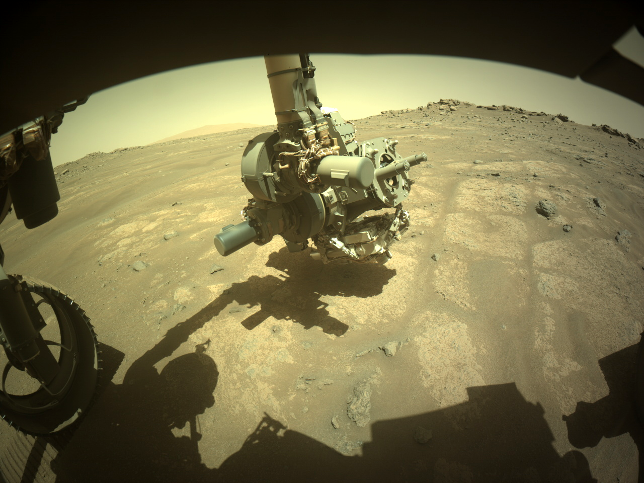
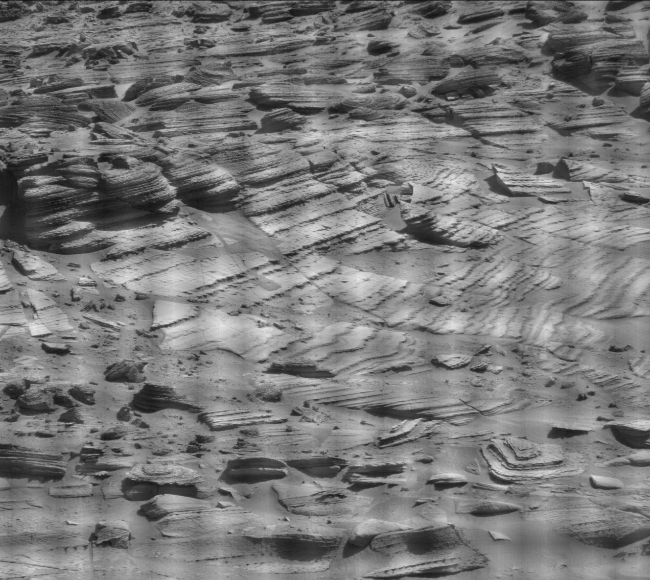
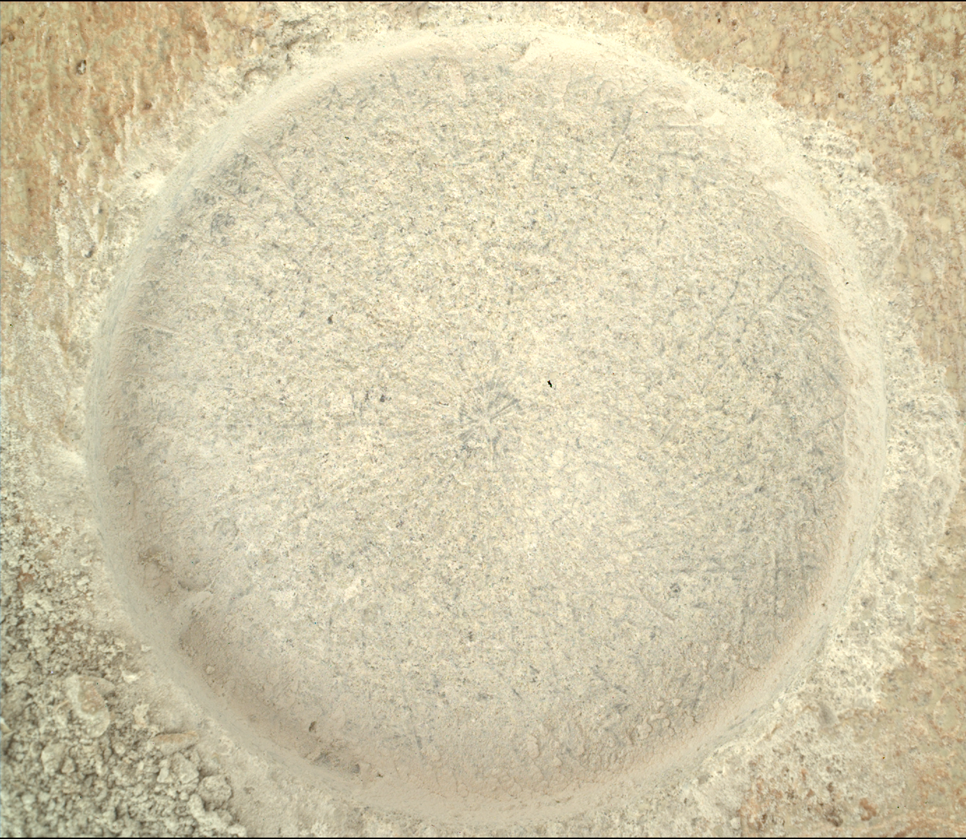
2 days agoThe textures visible in the tube on the two sets of images (from 1497 and 1492) look quite similar (there are dark grains/spherules visible in both, in similar quantities), and the outcrop before the rover has changed very little in the last week (comparing NavCam images from 1490 and 1497), so I’m fairly certain Percy hasn’t tried coring again. This should be the same core.
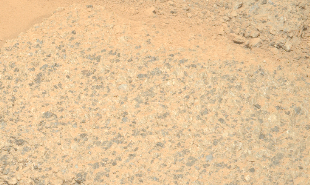
I’m wondering if they’re going to take any close-up images of the tailings from the borehole… but I think your priorities are the correct ones, Paul 😉


#/media/File:NASA-Deimos-MarsMoon-20090221.jpg)
#/media/File:Atlas_color_PIA21449.png)
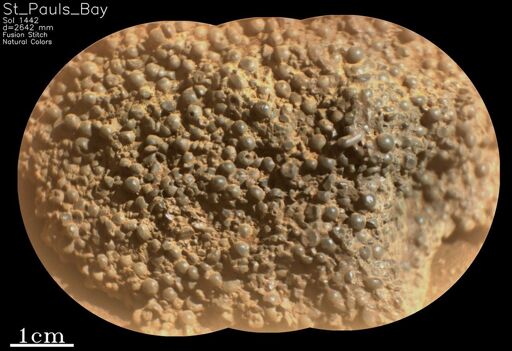
My compliments to JV, that’s excellent work. I’m seeing some new and exciting details in this sample here.
I will never play down or discount budget cuts, but I will say this - under Trump (and Musk), tariff policy is practically fodder for meteorologists; it changes about as often as the major weather systems do. I think we will find that the story of the budget will change with the prevailing wind as well. Planetary science has seen dark days (under Nixon, and after Viking) before, and even Steve Squyres himself had his tussles with the Obama administration. This battle isn’t over yet, Paul.