

The European map just shows railway lines, which are partly not used for passenger trains. I believe this one is better, although from 2017 so things might have changed for some lines:

The US map is also incomplete iirc from the last time I saw this image.
Please use a blur attribute as this is too sexy especially the bottom half.
Oh, yes, yessss, pleeeeease!
United States are decades behind.
Nah, that implies a trend in the opposite direction from what we’re actually doing.

Also, population density in the US vs. Europe:

At the very least, there should be a rail link to the largest city in each state. Even in the areas in the US with comparable population density to Europe, the rail infrastructure is embarrassing.
Relevant, but not exculpatory
edit
We should at least have the rail density of Belarus
I largely agree, but population density alters the feasibility of cross-country routes for sure. And if we were to find a higher resolution map of US population density and zoom in on most of the densest areas, you’ll find they often have local passenger rail networks.
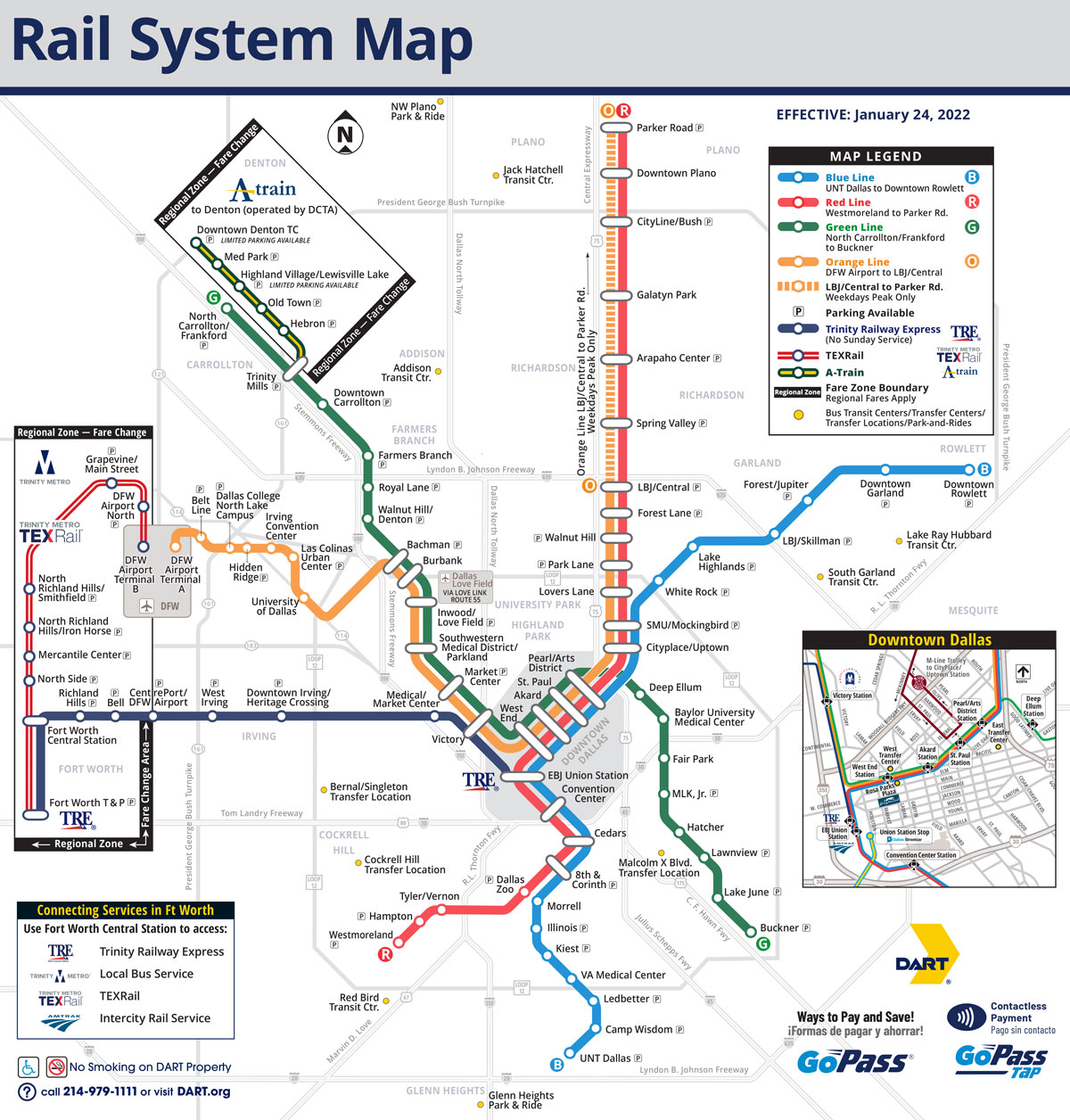
Even Houston and Dallas have local rail systems serving some of their highest density areas. Obviously, yes, it could and should be a lot better
That belies the fact that we already had cross-country routes before, but decided to ditch them for even-more-subsidized freeways.
Sweden has high speed rail connecting all cities and large towns. That is a dark country country. The three Baltic states are currently working on a 200km/h line connecting their capitals with Poland. Not to mention Spain, which is more densly populated, but happens to have the second largest high speed rail network in the world.

