- cross-posted to:
- worldnews@lemmy.ml
- globalnews@lemmy.zip
- cross-posted to:
- worldnews@lemmy.ml
- globalnews@lemmy.zip
In the months before the Israeli invasion, Gaza’s southernmost city of Rafah was a lifeline, a place where thousands sought shelter or scrabbled to raise funds to cross into neighbouring Egypt.
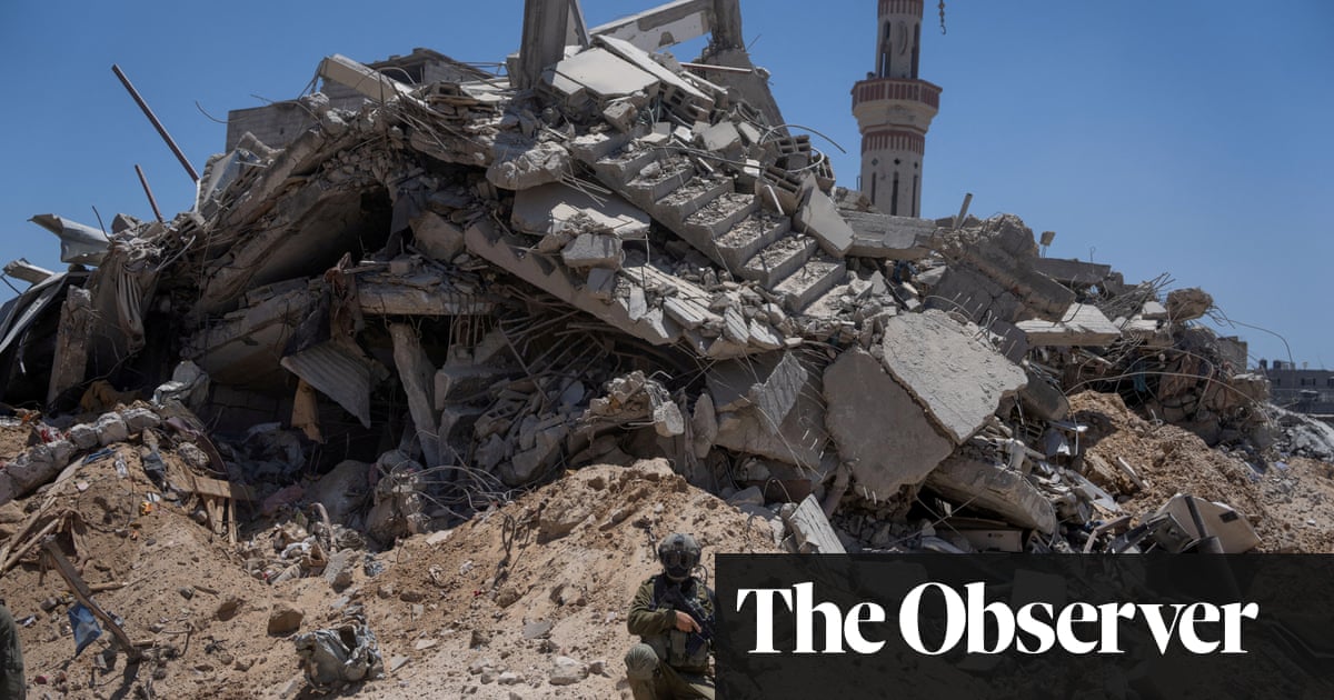
Now satellite images and social media video uploaded by Israeli soldiers stationed around the city show roads widened for armoured vehicles surrounded by total destruction, including buildings razed to the ground in the once bustling city.
Social media video and satellite images show the destruction of the Rafah crossing point, previously the last remaining passenger route out of Gaza, after Israeli forces seized control of the area in early May. Soon afterwards, Israel said it had “operational control” of the entire Philadelphi corridor, a slim strip of land that runs next to the border with Egypt, where an Israeli presence is prohibited by the 1979 peace treaty between the two nations.
Israeli forces also built a new road between the Rafah and Kerem Shalom crossing points, known as David’s Pass, and widened parts of the road running along the Philadelphi corridor, to smooth the way for military vehicles. A social media video uploaded by an Israeli soldier standing next to the Mediterranean, in an area once dotted with tents, shows a makeshift Israeli watchtower in the shadow of one that was until recently used by Egyptian soldiers, and a cluster of military bulldozers and construction equipment.


Don’t let them force the “antizionism is antisemitism” lie.