

India says it has lodged a “strong protest” with China over a new map that lays claim to its territory.
Indian media have reported that the map shows the north-eastern state of Arunachal Pradesh and the disputed Aksai Chin plateau as China’s territory.
This is the best summary I could come up with:
Indian media have reported that the map shows the north-eastern state of Arunachal Pradesh and the disputed Aksai Chin plateau as China’s territory.
India’s protest comes days after Prime Minister Narendra Modi and Chinese President Xi Jinping spoke on the sidelines of the Brics summit in South Africa.
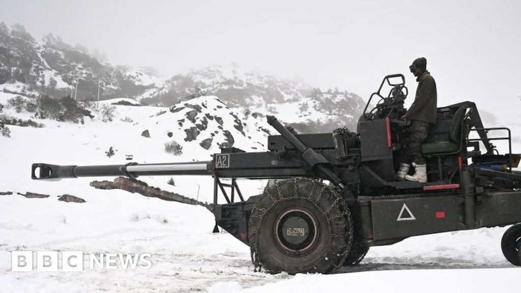
The source of the tension between the neighbours is a disputed 3,440km (2,100 mile)-long de facto border along the Himalayas - called the Line of Actual Control, or LAC - which is poorly demarcated.
China says it considers the whole of Arunachal Pradesh its territory, calling it “South Tibet” - a claim India firmly rejects.
In April, Delhi reacted sharply to China’s attempts to rename 11 places in Arunachal Pradesh, saying the state would always be "an “integral and inalienable part of India”.
Relations between India and China have worsened since 2020, when their troops were involved in a deadly clash at the Galwan valley in Ladakh - it was the first fatal confrontation between the two sides since 1975.
The original article contains 401 words, the summary contains 168 words. Saved 58%. I’m a bot and I’m open source!